Times Colonist, Opinion
February 3, 2026
Ryan Senechal
https://www.timescolonist.com/opinion/comment-garry-oak-ecosystem-is-under-great-threat-in-saanich-11824300
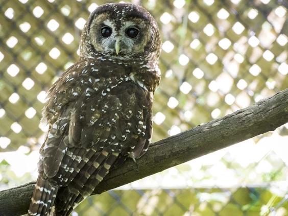
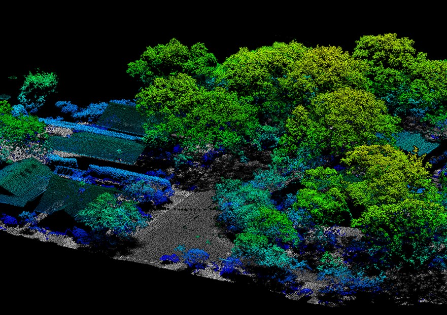
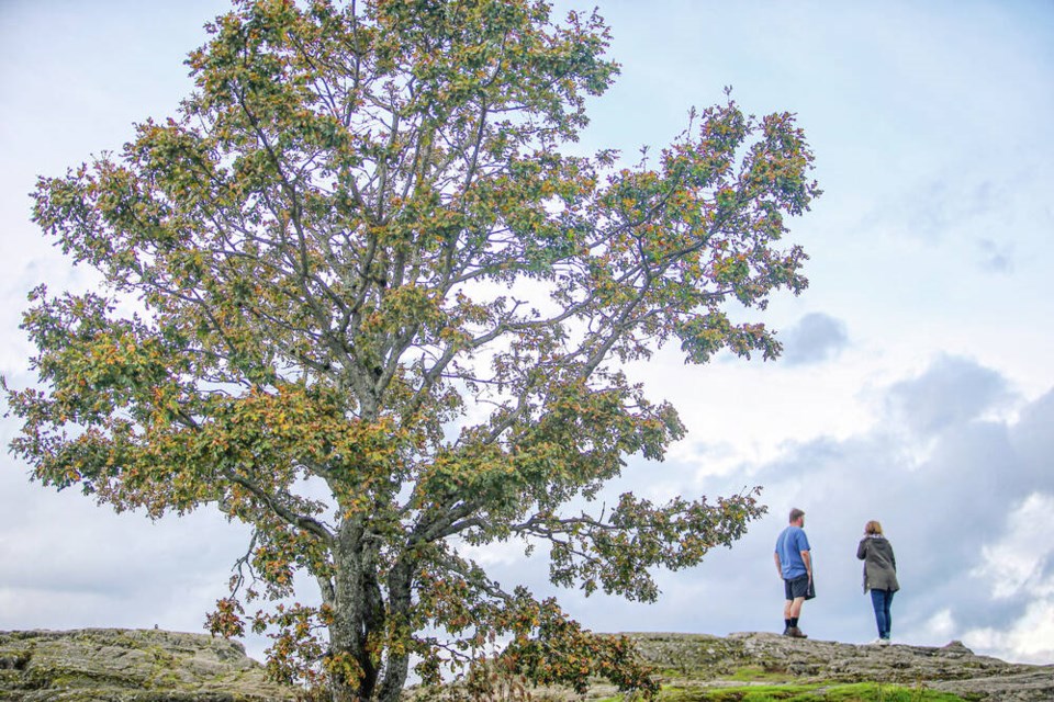
The dominant species in this area is Garry oak, and casual observations confirm that dozens of other species that co-evolved with this tree species are also present.
A commentary by a Saanich resident.
Buried on page 135 of Saanich’s Quadra-McKenzie Plan are clues of what is in store for present and future residents of Saanich.
Two words that can better connect our imaginations to this place, quicker than just about any other term in the plan, have been relegated to the Quadra-McKenzie Plan’s glossary: Garry oak.
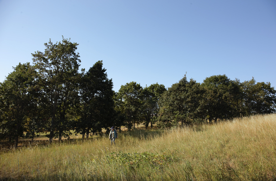
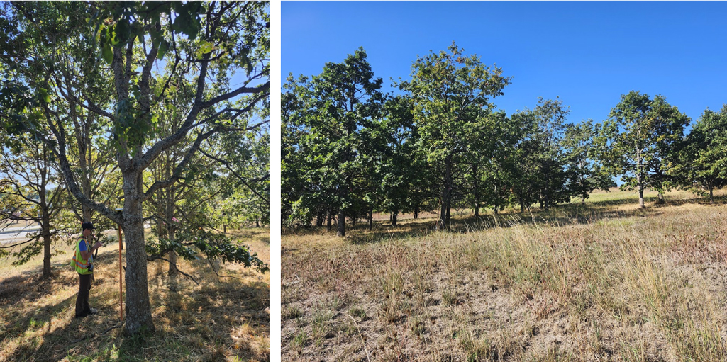
If you’ve ever navigated the Quadra and McKenzie area, you’ll know you can wander in any direction and encounter truly unique woodlands and individual Garry oak trees blended into the built environment.
The dominant species in this area is Garry oak, and casual observations confirm that dozens of other species that co-evolved with this tree species are also present.
The critically endangered remnants of the kwetlal or Garry oak ecosystem exist in the Quadra and McKenzie area today in large part because of lək̓ʷəŋən and W̱SÁNEĆ stewardship.
In the 2010s, as pressure to bypass development practices that preserve trees and ecosystems intensified, Saanich residents could count on the consistent public support of Dean Murdock, then councillor, for the Garry oak ecosystem.
When Murdock was challenged in 2015 by residents pointing to flaws in Saanich’s bylaws associated with sensitive ecosystems, he shared, “I’m supportive of the intent [of the Environmental Development Permit Area].”
He provided further comments, noting, “It’s really designed to be a protective tool, so that in the event of a change in land use, redevelopment or rezoning, we’re protecting those areas.”
As Murdock, now the mayor, nears the end of his term, his philosophy on Garry oak ecosystems appears to have inverted.
The flawed maps implemented as the evidence-based instrument for implementing the EDPA bylaw still echo across the province today as a cautionary tale of environmental policy failure.
The scandal that emerged frustratingly exacerbated perceptions that ecosystems and urban development are oppositional forces.
What followed the collapse of the EDPA was five years of technical review panels and multiple environmental consulting contracts.
After it was proposed by Coun. Zac de Vries, council endorsed the 3-30-300 urban forestry principle, which mandates that every citizen sees at least three trees from their home, that there is 30 per cent urban forest canopy in every land-use designation area and every home is no more than 300 metres from a high-quality green space.
In 2022, there was a last-minute tree-planting election campaign promise by Murdock. His comments in the Times Colonist that November committed to planting “100,000 trees by 2032 on public lands, boulevards and private properties.”
Saanich Parks, which has no authority to plant trees on private land and has received no funding to support increased public tree-planting capacity, is on track to achieve this goal 30 years late.
Murdock’s progress on this particular objective is similarly vexing as council’s meddling with its own 3-30-300 commitments.
After receiving widespread praise for its early adoption of the principle, the Urban Forest Strategy will strive to achieve the 30 per cent canopy threshold in 2064, with one caveat: Saanich Core has been removed from the primary growth land use designation area.
Whether 3-30-300 champion de Vries takes issue with this creative canopy-commitment workaround is ultimately moot. Saanich has no pathway to achieving canopy targets if they continue to defer funding and delay implementing the biodiversity and urban forest strategy recommendations.
Saanich is developing a new tree protection bylaw using urban forest canopy analysis that is nearly seven years old. This is a feature of council opting out of Urban Forest Strategy recommendations to update canopy analysis “at least every five years,” and prevents the ability for comparison with the 2019 canopy baseline.
This is important information to inform how current policies around land use development, climate change and the effectiveness of management approaches are working.
Upgraded canopy analysis would improve decision makers’ understanding of how the Quadra-McKenzie Plan is likely to alter existing canopy, and what management and policy interventions are necessary for urban forestry stewardship.
The voting majority of council, choosing to defer strategic plan recommendations, including updating the canopy analysis, and rushing to implement the Quadra McKenzie Plan, is not taking its responsibility as the steward of this critically endangered ecosystem seriously.
Accountability can be restored, but replacing the kwetlal food system/Garry oak ecosystem after it is removed, council and senior staff cannot.