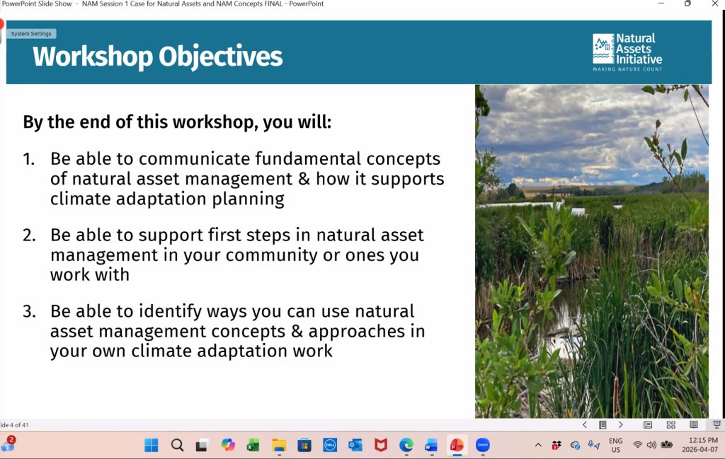
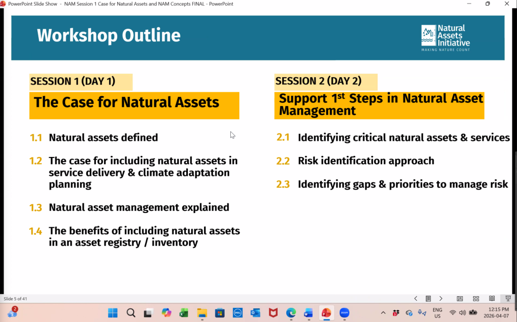
GOMPS Directors were fortunate to join a two-day workshop for the Natural Asset Management Fundamentals Workshop at Natural Assets Initiative on April 7th and April 9th, 2026. Please watch the video to understand what is natural asset management.
Biodiversity loss and climate change constitute a twin crisis in which accelerating habitat destruction, species extinction, and climate disruption reinforce one another in a negative feedback loop. Since 1970, 70% of vertebrate populations have vanished, with land-use change, overexploitation, and climate change driving up to 1 million species toward extinction. Addressing these together is vital, as nature loss hampers carbon absorption, accelerating global warming, while a warming planet destroys ecosystems.
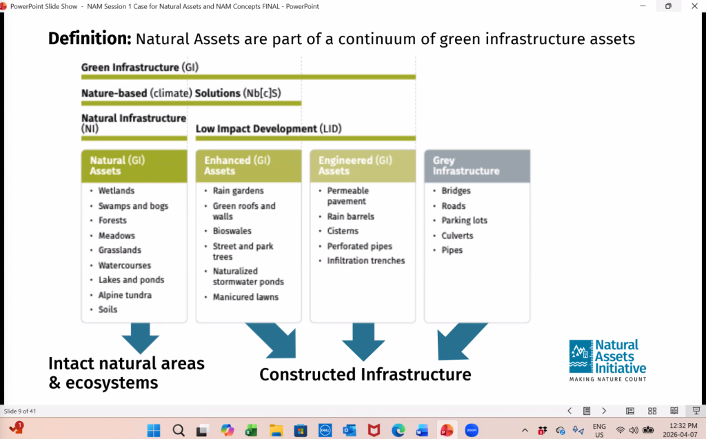
The online course was about how to think about the natural assets of core infrastructure and the value it brings to our communities. Once they are gone, we really can’t replace them with built infrastructure. They have intrinsic value, are irreplaceable, and have no end of useful life.
We all have a responsibility to ensure the services of value provided by the Garry oak ecosystem, and the Garry oak tree can continue to provide multiple service benefits that need to be considered in a holistic approach that supports our communities in an urban environment.
Rather than focusing on aesthetic value, this approach evaluates the stormwater services provided by natural assets—under both current and future climate scenarios—and assigns value to those services. This is especially critical in urban areas, where development pressure often leads to the loss of these systems.
It also requires a direct comparison between the costs of conventional stormwater management infrastructure and the use of natural asset management. In many cases, intact ecosystems such as Garry oak landscapes provide equal or greater long-term performance at a lower cost, while also delivering additional co-benefits that engineered systems cannot replicate.
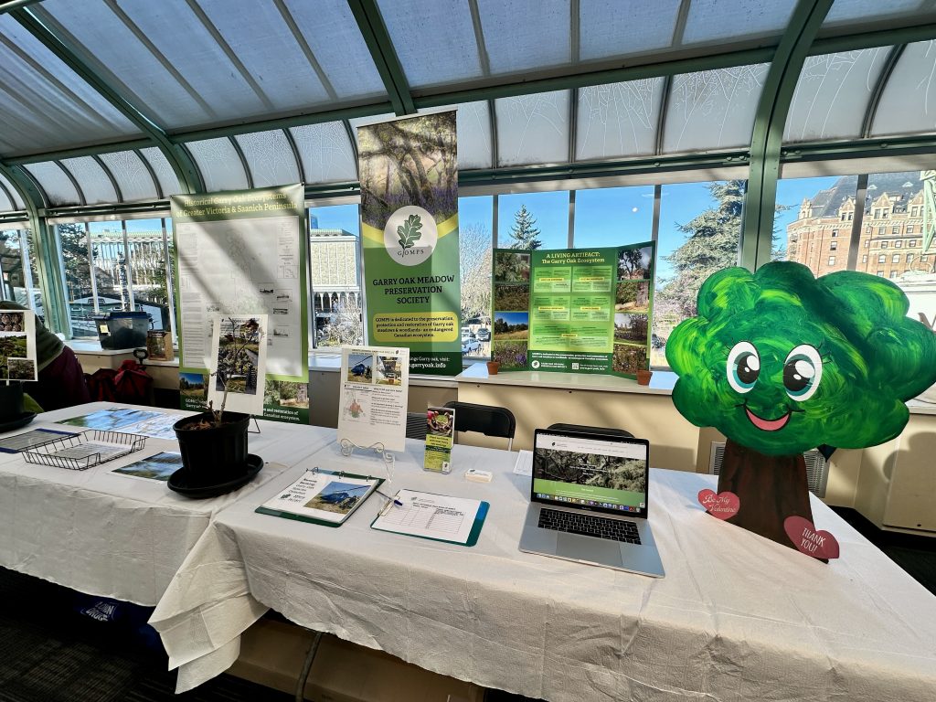
Thank you all so much for visiting GOMPS at this year’s Seedy Saturday!
Thank you to everyone who stopped by the Garry Oak Meadow Preservation Society table at Seedy Saturday on February 14, 2026. It was wonderful to connect with so many people who care deeply about Garry oak ecosystems, native plants, and the future of food systems and biodiversity in our region.
We were especially pleased to soft-launch our new website at the event, and we’re thrilled to welcome many new members to GOMPS. Your interest, conversations, and support help strengthen the growing community working to protect and restore Garry oak trees and the food ecosystem services they provide.
Events like Seedy Saturday remind us how much knowledge, curiosity, and stewardship already exists in this community. We’re grateful to be part of it and look forward to continuing the work together.
Thank you for supporting Garry oak ecosystems. 🌿
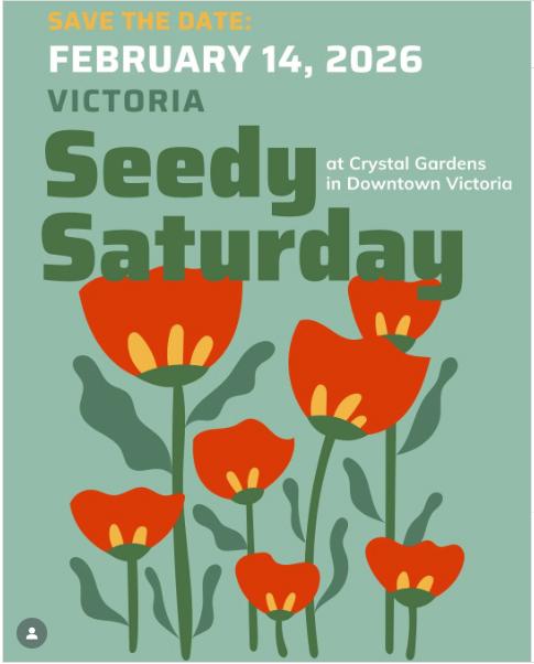
Booth ready to meet you at Seedy Saturday, February 14, 2026
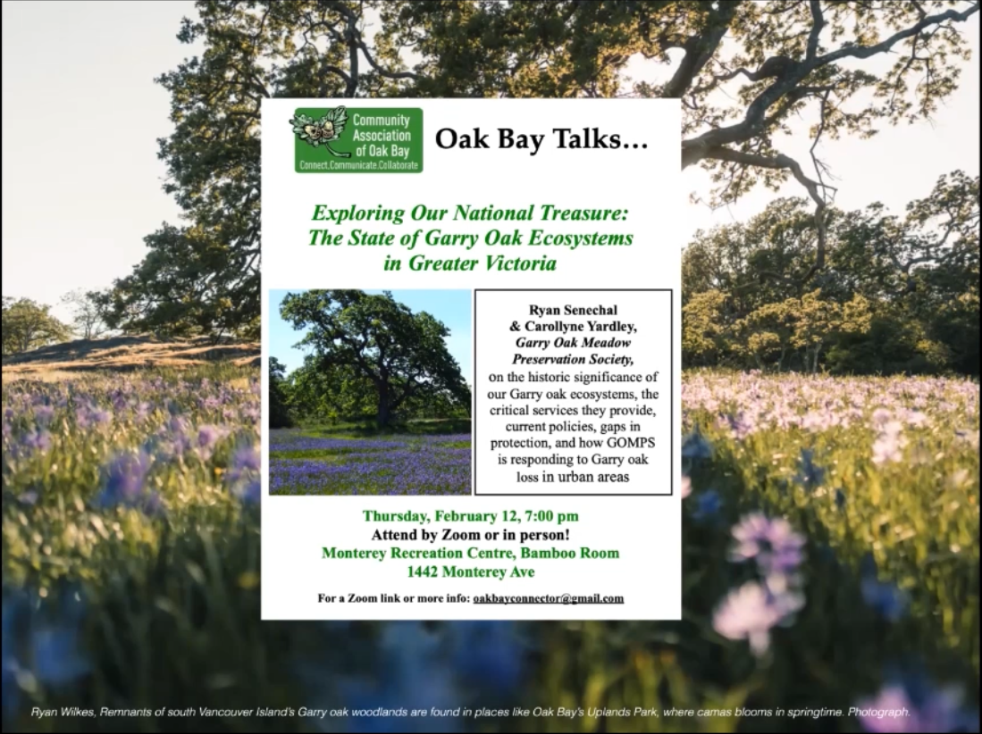
GOMPS – Community Association of Oak Bay. Thursday, February 12, 2026, at 7:00 pm. Zoom and in person. Monterey Recreation Centre, Bamboo Room. Oak Bay Talks presents: Exploring Our National Treasure: The State of the Garry Oak Ecosystems in Greater Victoria. Ryan Senechal and Carollyne Yardley, Garry Oak Meadow Preservation Society, on the historic significance of the Garry oak ecosystems, the critical services they provide, current policies, gaps in protection, and how GOMPS is responding to Garry oak loss in urban areas. Links Community Association of Oak Bay https://www.oakbaycommunityassociation.org Garry Oak Meadow Preservation Society https://www.garryoak.info
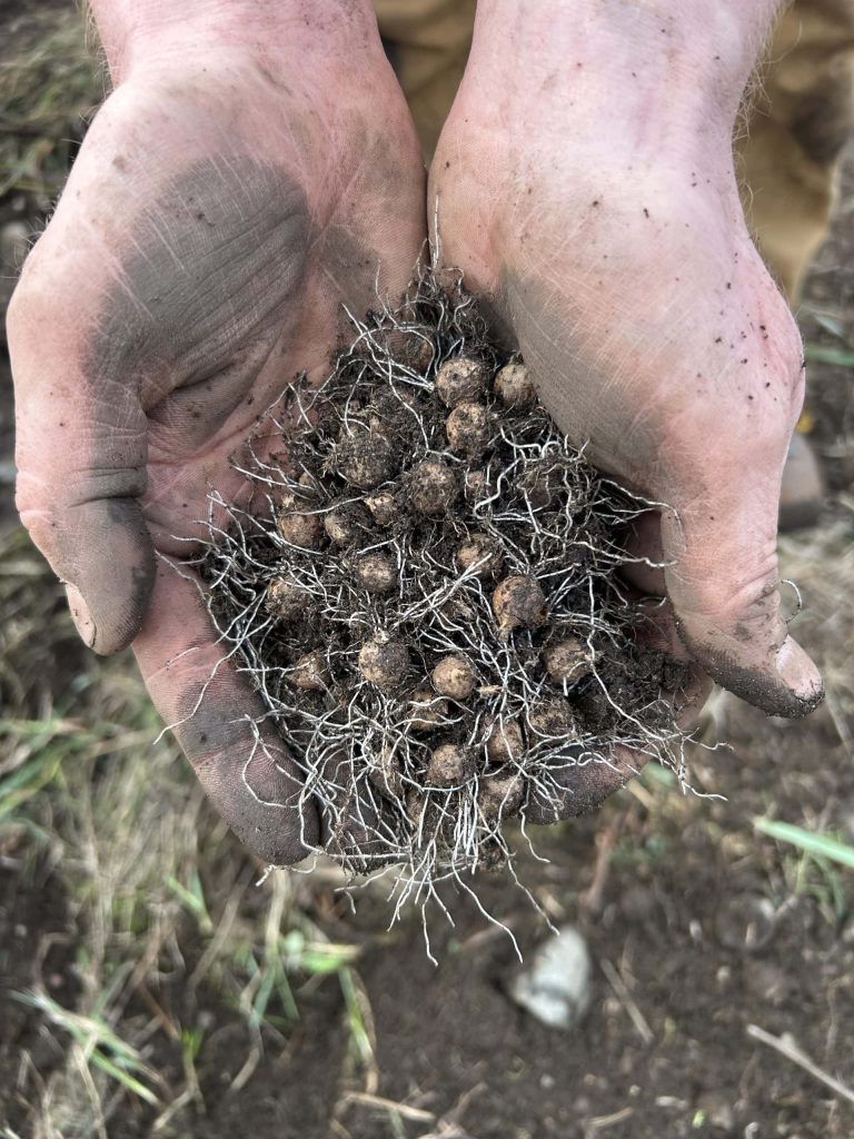
Residents in Nanaimo, B.C., became concerned when they realized that rare — and tiny — slimleaf onion bulbs were dug up to build a new trail. Photos: Supplied by Hunter Jarratt
Michael Geselbracht was out for a Saturday run in Nanaimo, B.C., when he came across soil piled up in a special area he knew was part of a native Garry oak ecosystem.
That particular spot — across from a row of houses on View Street, parallel to a railway — had been an improbably dense and thriving meadow of a native plant called slimleaf onion. The patch was something of a terrestrial island, approximately 50 square metres surrounded by introduced grasses and weeds. Still, the onions persisted. They had given an especially impressive show of white and the rarer pink flowers in the last wet spring.
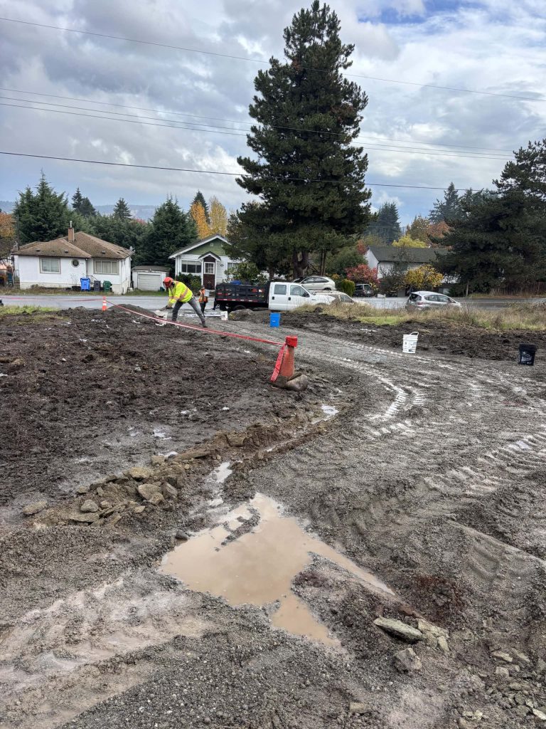
But in October 2025, thousands of nickel-sized bulbs were turned up by heavy machines and strewn like pebbles across the soil’s surface when the meadow became a construction site. The transformation was part of an effort to develop a multi-use trail corridor along the railway route by a group called the Island Corridor Foundation — a trail that, unbeknownst even to many local conservationists, routed through the rare patch of slimleaf onions.
The biodiverse and fire-adapted Garry oak ecosystem has been tended by Indigenous Peoples for thousands of years. But after 150 years of settlement, less than five per cent of the Garry oak ecosystem remains in a near-natural state. Some also hang on in remnants like the one on View Street, adulterated by invasive plants, mostly forgotten, hard to spot out of season, disconnected from other Garry oak plant communities and, more often than not, totally legal to destroy.
‘No Garry oak ecosystem that has been unimpacted’
Geselbracht spends most days outside teaching kids to love the natural world in the Nanaimo Forest School. He’s helped restore the local Cat Stream for salmon, and has spent more than 70 hours pulling invasive plants like trailing blackberry and English ivy from his neighbourhood.
Like many Nanaimo residents, he was thrilled with the prospect of more trails — for cycling and for access to more community projects, like the food forest he helped clear from a weedy abandoned lot. It all seemed worth a bit of mud and machines.
“It’s the connectivity, you know — the more that we have these connected trails, the more people start to use them,” Geselbracht says.
But he hadn’t expected the route to go through the native plants; he knew something should be done. So he spread the word and texted pictures of the bulldozed area to others in Nanaimo. Some people salvaged bulbs — a pair of cupped hands can hold more than 50. A biologist living in the neighbourhood stopped by with specific suggestions to prevent further harm. The Nanaimo Area Land Trust sent a letter to the city, imploring them to mitigate the damage. “Even when there’s this tiny remnant, you just feel the loss of it, in terms of death by a thousand cuts,” Linda Brooymans, stewardship manager for the land trust, told The Narwhal.
Since the City and the Island Corridor Foundation were alerted to the presence of the onion, workers have put in small culverts to direct water to the remaining bulbs — the plants rely on seasonal wetlands called vernal pools. They also replaced the soil, laid straw in an effort to protect the site and built a fence to protect the area from foot traffic. By January some of the bulbs were sprouting.
But native plant advocate Hunter Jarratt says the fence caused further disruption and, positioned at the back of the patch, won’t do anything to keep people from walking on the plants. Jarratt knew that spot for the rare slimleaf onion and was shocked to find it scraped to bedrock.
Only the spring will tell if the ground will hold water like it did before, how many of the plants will survive and whether the straw or site disturbance will result in a weed boom. No matter what, Jarratt says the slimleaf onion population will never again be what it was in numbers or genetic diversity.
“It was beautiful, and it’s all gone. And what was the reason, you know?”
At the heart of the ecosystem disappearing act is a simple conflict — the inviting flower-filled meadows occur where people want to live. Fire suppression, aggressive invasive plants and the impact of off-road vehicles adds to the threat.
But there is little legal protection for Garry oak ecosystem remnants — and plants like slimleaf onion often fall through the cracks.
Slimleaf onion isn’t protected under the Species At Risk Act, leaving most habitat in B.C. subject to patchwork rules and largely voluntary protection. Photo: Supplied by Thomas Bevan
No environmental assessment needed for trail construction
Advocates worry the slimleaf onion, though rare, is not meaningfully protected by any level of government.
Locally, the City of Nanaimo has bylaws protecting trees, like the Garry oaks themselves, and has included known ecosystems for plants like slimleaf onion in environmentally sensitive zoning, which triggers extra requirements like professional assessment and protection during development. Some municipal ecosystems are protected from development by park areas like Nanaimo’s Lotus Pinnatus Park or Victoria’s Beacon Hill Park.
Provincial legislation includes mandates for threatened plant species — but only applies within specified areas, like designated ecological reserves or in public forests (Crown land). The often-narrow parameters for designating protection can also lag behind — for example, the Forest and Range Practices Act hasn’t updated its list of protected plants since 2006. In any case, none of the existing provincial rules would apply to the View Street slimleaf onion.
Neither is slimleaf onion on the list of plants recognized by the federal Species At Risk Act. The plant could potentially benefit tangentially from an ecosystem recovery plan created for five other Garry oak ecosystem plants, though that plan is only automatically enforceable on federal lands — that’s just four per cent of Canada and around one per cent of land in B.C. On private land in B.C.— such as the rail corridor — enforcement is voluntary. On public land, there is “piecemeal legislation” and “non-legal recommendations and guidance,” according to a 2022 audit.
The federal government has the power under the Species At Risk Act to make emergency protection orders, but rarely does.
When City of Nanaimo councillors unanimously approved the path extension in July of 2025, none of the laws protecting species at risk applied. And at just over 700 metres of gravel path, the Island Corridor Foundation project — on private land and not zoned as environmentally sensitive — didn’t require a permit or an environmental assessment.
Charlotte Davis, Nanaimo’s Parks and Natural Areas deputy director, says the small area wasn’t zoned for protection because it wasn’t found during the last assessment — but she’s hopeful imaging advancements will make it easier to find small areas like these in the next one, as early as 2028.
Davis also notes the project has increased access to safe trail for locals but that more engagement before construction “would have allowed us to be more aligned with the local naturalist community, with whom we share so many values, from the outset.”
The plant advocates want to protect the slimleaf onion — and other rare plants — even when they grow outside legislated or bylawed protection areas, like the View Street meadow.
“It wasn’t perfect, but there’s no Garry oak ecosystem that has been unimpacted. This is the best we have left,” Jarratt says.
“How do we control [the disturbance of native ecosystems] if we don’t even have them mapped, or we don’t even know where they are?” he asks.
But B.C.’s Garry oak ecosystem hasn’t been comprehensively mapped since 1993. The last analysis, noting only five per cent of the ecosystem remaining, came from a 2006 study.
With population growth and urban development, advocates say that measurement has changed in the last 20 years.
There are proposed projects in known Garry Ook ecosystem around Nanaimo; residential and industrial development in Cable Bay, nearly 200,000-square-foot data centre on East Wellington Road, housing in Linley Valley and a new subdivision in Harewood Plains — city council has asked provincial and federal governments for help protecting the latter.
Nanaimo zoning bylaws require developers to take extra measures in noted sensitive areas but don’t prohibit new construction.
What is harder to measure are the unmapped survivors on private land — they can be legally built over, perhaps without anyone knowing they were there. “There’s just examples of this kind of stuff happening all the time, everywhere,” Jarratt says.
Vancouver Island railway project hopes to promote sustainability and recreation
The Nanaimo trail expansion is one small part of a larger vision for Vancouver Island’s rail corridor.
“We are the little railway that could,” Island Corridor Foundation Chief Executive Officer Thomas Bevan says. A team of just four people, including himself, manage nearly 300 kilometres of rail corridor on Vancouver Island.
The foundation has a vision for sustainable transportation — passenger and freight rail service, alongside walking and cycling paths. Considering environmental and financial concerns as well as the interests of Indigenous groups and diverse local stakeholders — such as native plant advocates — is fraught. As Bevan puts it, nobody’s going to get everything they want.
Still, environmental concerns figure strongly in the foundation’s mandate, and Bevan says they do what they can, like the $600,000 the group spent clearing invasive Scotch broom and blackberry along 125 kilometres of rail corridor, from Victoria to Qualicum Beach, B.C., in 2024 and 2025. Bevan says they are looking for funding to deal with the regrowth and other areas of the corridor.
Finding out too late
If there had been a voluntary environmental assessment of the trail expansion in Nanaimo, a qualified biologist would have done a survey, perhaps even checked the iNaturalist database where multiple slimleaf onion and other Garry oak plants were logged on View Street. They would have established a baseline for the existing population and potentially found other threatened species. They may have recommended shifting or narrowing the course of the path to avoid the most sensitive habitat.
Instead, Bevan found out about the slimleaf onion after the fact, and says, as someone who follows Jarratt’s native plant advocacy, he felt awful.
Going forward, Bevan says the Island Corridor Foundation will work on new policy for sensitive areas and has allocated $10,000 for restoration efforts — potentially weeding or reintroducing native plants. They are seeking a community partner to execute the work.
Geselbracht, the forest school teacher, imagines a future where all the neighbours know more about the Garry oak ecosystem plants and remnants in their backyard, and help to bolster them — like he wishes he had done sooner.
For four years Geselbracht has been tending Garry oak seedlings with hopes to eventually reintroduce them in the View Street native plant patch, with his students. “If I’d had them doing some planting then maybe, on their walk to school, when they saw the excavator there, they would have said something.”
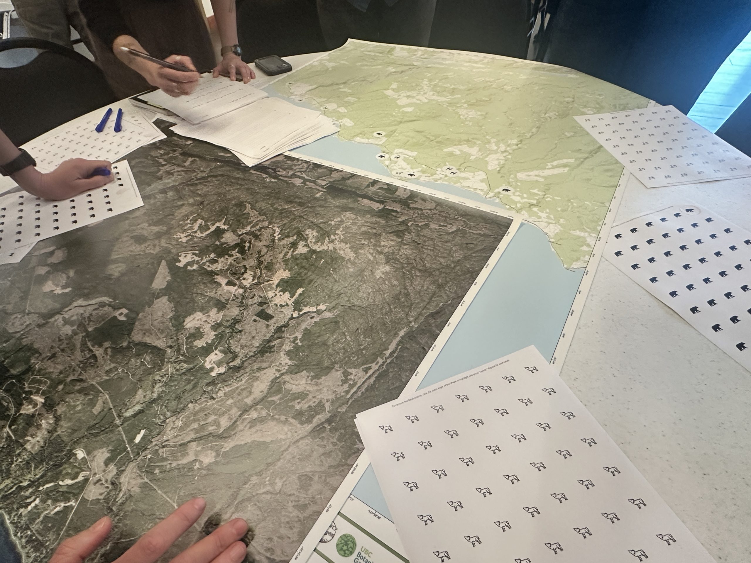
GOMPS was pleased to participate in the Southern Vancouver Island Wildlife Corridor Workshop on February 12, 2026, joining a growing network of community members, researchers, and organizations working to strengthen habitat connectivity across the region.
The day was full of thoughtful discussion, collaborative mapping, and shared insights—helping translate community knowledge into both physical and digital mapping outputs. We’re encouraged to see this work continue, with ongoing updates and opportunities emerging from this expanding network.
We look forward to contributing to future efforts that support ecological connectivity and the protection of Garry oak ecosystems across Southern Vancouver Island.
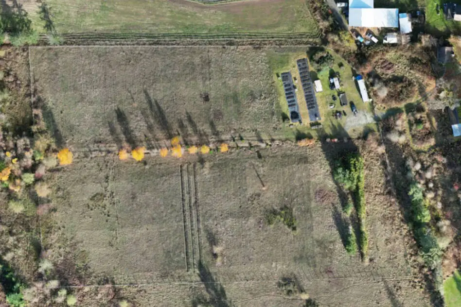
Bear Hill Farm, viewed from above in 2025, is a pilot project in partnership with the Capital Regional District to develop and maintain an agriculture focus activating under utilized lands for food production. (CRD report) Read more at: https://vicnews.com/2026/02/03/saanichs-bear-hill-gets-ready-for-5-year-crd-farm-pilot-program/
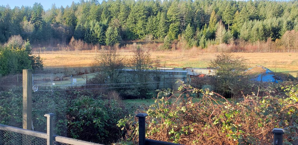
A regional park is almost ready to raise farmers on a recently revamped tree nursery in Saanich. A plot in Bear Hill Regional Park serves as a pilot project for the Capital Regional District, under its new Foodlands Access Service established in February 2025. Fallow nearly a decade, with only a small portion used as by the Garry Oak Meadow Preservation Society as a seedling nursery, and previously used as a City of Victoria nursery, CRD staff are now seeking final board approval to use the land for a five-year farm pilot.
Dubbed a farmer-incubator site, the district already allocated a partnership of Haliburton Community Organic Farm Society and LifeCycles Project Society to operate the site, the regional parks committee heard during its Jan. 28 meeting.
Haliburton has two decades of experience in farm incubation and agricultural land management, with a focus on supporting certified organic and regenerative farming practices. LifeCycles is a regional leader in food literacy and security.
Preliminary preparation started in November, according to an information report shared with the committee. That work included clearing brush, invasive plants, trees and stumps alongside soil sampling and testing. Building a base is anticipated to continue the first half of 2026, with a focus on building out farm infrastructure, remediation and policy development including refinement of the farmer application process, land agreements and tenancy responsibilities. The Farmland Access Service aims to use the existing house, with some investment for safety upgrades, to support farm operations. The plan includes removal of a dilapidated barn on the property. The plan is to have farmers selected and accessing the land at 5920 Patricia Bay Hwy by August.
The dominant species in this area is Garry oak, and casual observations confirm that dozens of other species that co-evolved with this tree species are also present.
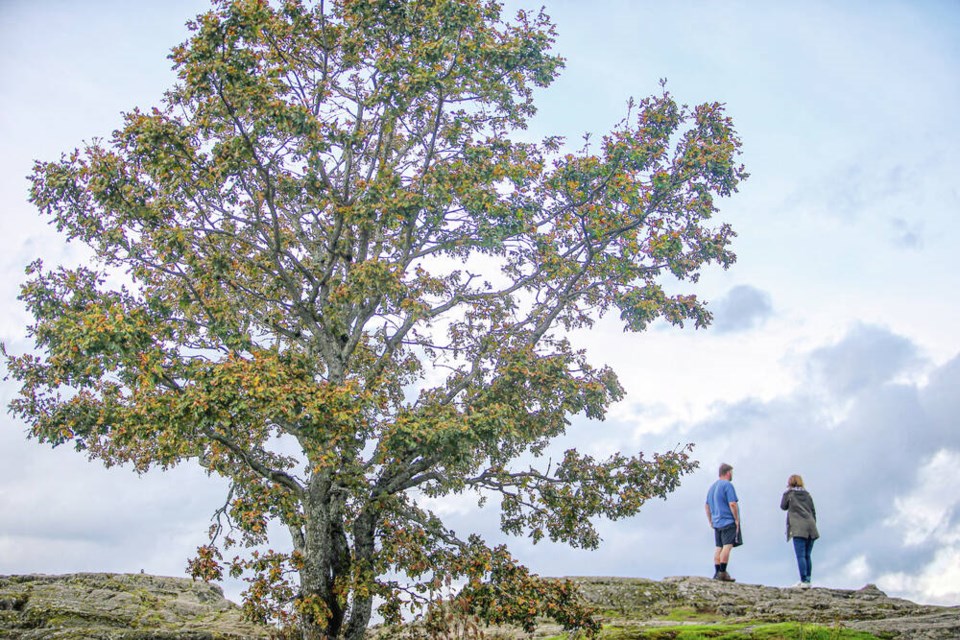
People stand atop Mt. Tolmie beside a large Garry oak tree. ADRIAN LAM, TIMES COLONIST
A commentary by a Saanich resident.
Buried on page 135 of Saanich’s Quadra-McKenzie Plan are clues of what is in store for present and future residents of Saanich.
Two words that can better connect our imaginations to this place, quicker than just about any other term in the plan, have been relegated to the Quadra-McKenzie Plan’s glossary: Garry oak.
If you’ve ever navigated the Quadra and McKenzie area, you’ll know you can wander in any direction and encounter truly unique woodlands and individual Garry oak trees blended into the built environment.
The dominant species in this area is Garry oak, and casual observations confirm that dozens of other species that co-evolved with this tree species are also present.
The critically endangered remnants of the kwetlal or Garry oak ecosystem exist in the Quadra and McKenzie area today in large part because of lək̓ʷəŋən and W̱SÁNEĆ stewardship.
In the 2010s, as pressure to bypass development practices that preserve trees and ecosystems intensified, Saanich residents could count on the consistent public support of Dean Murdock, then councillor, for the Garry oak ecosystem.
When Murdock was challenged in 2015 by residents pointing to flaws in Saanich’s bylaws associated with sensitive ecosystems, he shared, “I’m supportive of the intent [of the Environmental Development Permit Area].”
He provided further comments, noting, “It’s really designed to be a protective tool, so that in the event of a change in land use, redevelopment or rezoning, we’re protecting those areas.”
As Murdock, now the mayor, nears the end of his term, his philosophy on Garry oak ecosystems appears to have inverted.
The flawed maps implemented as the evidence-based instrument for implementing the EDPA bylaw still echo across the province today as a cautionary tale of environmental policy failure.
The scandal that emerged frustratingly exacerbated perceptions that ecosystems and urban development are oppositional forces. What followed the collapse of the EDPA was five years of technical review panels and multiple environmental consulting contracts.
After it was proposed by Coun. Zac de Vries, council endorsed the 3-30-300 urban forestry principle, which mandates that every citizen sees at least three trees from their home, that there is 30 per cent urban forest canopy in every land-use designation area and every home is no more than 300 metres from a high-quality green space.
In 2022, there was a last-minute tree-planting election campaign promise by Murdock. His comments in the Times Colonist that November committed to planting “100,000 trees by 2032 on public lands, boulevards and private properties.”
Saanich Parks, which has no authority to plant trees on private land and has received no funding to support increased public tree-planting capacity, is on track to achieve this goal 30 years late.
Murdock’s progress on this particular objective is similarly vexing as council’s meddling with its own 3-30-300 commitments.
After receiving widespread praise for its early adoption of the principle, the Urban Forest Strategy will strive to achieve the 30 per cent canopy threshold in 2064, with one caveat: Saanich Core has been removed from the primary growth land use designation area.
Whether 3-30-300 champion de Vries takes issue with this creative canopy-commitment workaround is ultimately moot. Saanich has no pathway to achieving canopy targets if they continue to defer funding and delay implementing the biodiversity and urban forest strategy recommendations.
Saanich is developing a new tree protection bylaw using urban forest canopy analysis that is nearly seven years old. This is a feature of council opting out of Urban Forest Strategy recommendations to update canopy analysis “at least every five years,” and prevents the ability for comparison with the 2019 canopy baseline.
This is important information to inform how current policies around land use development, climate change and the effectiveness of management approaches are working.
Upgraded canopy analysis would improve decision makers’ understanding of how the Quadra-McKenzie Plan is likely to alter existing canopy, and what management and policy interventions are necessary for urban forestry stewardship.
The voting majority of council, choosing to defer strategic plan recommendations, including updating the canopy analysis, and rushing to implement the Quadra McKenzie Plan, is not taking its responsibility as the steward of this critically endangered ecosystem seriously.
Accountability can be restored, but replacing the kwetlal food system/Garry oak ecosystem after it is removed, council and senior staff cannot.
Cori Lausen: 48 species listed as endangered federally aren’t recognized as species at risk in B.C. and thus don’t qualify for measures that could save their habitat from destruction or disturbance.
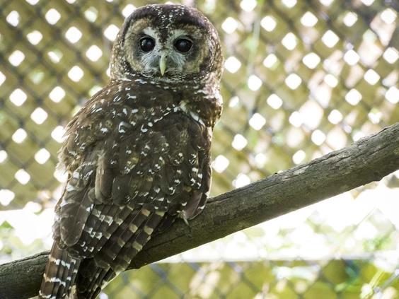
The spotted owl is B.C.’s most well-known, but far from only, example of how a species can be lost when habitat protection is ignored, writes Cori Lausen. PHOTO BY RIC ERNST /PNG
The B.C. government’s Look West strategy is to get four new mines (or expansion of current mines), three new natural gas projects and eight new renewable energy projects built in the next six years.
Article content
The same sense of urgency hasn’t been applied to protecting B.C.’s ever-increasing number of species at risk. Hundreds of species have been identified as threatened or endangered since 2006, yet it has been two full decades since the provincial government last updated B.C.’s Species at Risk list, often referred to as the Identified Wildlife list. Few protections exist for wildlife in B.C. that aren’t on this “Noah’s Ark” list.
This list falls under the Forest and Range Practices Act, and specifies which species are eligible for habitat protection measures during timber harvesting and grazing across the province.
though the province indicated several years ago that this list would be expanded to narrow the large gap between which species the province protects relative to which species are designated as endangered under the federal Species at Risk Act, it has yet to do so. A proposed expansion of the list was publicly reported well over a year ago, but the updated list has yet to receive approval.
Article content
Old or updated, though, the list continues to cover only a tiny subset of the species considered to be in trouble in this province. Of the greater than 1,600 species considered at risk in B.C., only 85 are currently included on the B.C. government’s Species at Risk list.
Article content
Three bat species illustrate the consequences of this delay. Two were listed as federally endangered in 2014, and a third, the hoary bat, was assessed as endangered in 2023 after severe population declines linked to wind energy mortality. Bats play a critical role in controlling insect populations, including forest and agricultural pests, and their decline increases pressure on already stressed ecosystems. As a bat biologist, I see these impacts firsthand in population monitoring and habitat assessments across the province. Bats are just one example of important biodiversity falling between the cracks in B.C.
t may come as a surprise that just because a species is recognized and legally listed by the Canadian government, that doesn’t mean its habitat is protected in B.C. or in any other province. In most cases, protection only applies to areas under federal jurisdiction, like in a national park. There are 48 species listed as endangered federally that aren’t currently recognized on B.C.’s Identified Wildlife list and thus don’t qualify for the protective measures that could save their habitat from destruction or disturbance.
Decades of conservation science show that habitat loss and degradation are the primary drivers of species decline, and that populations rarely recover without strong habitat protection. The spotted owl is B.C.’s most well-known, but far from only, example of how a species can be lost when habitat protection is ignored.
Article content
In 2017, the NDP government justified its decision not to proceed with a provincial law dedicated to species at risk by committing instead to develop a more comprehensive suite of tools to protect biodiversity in the province. While that approach could have merit, progress has been minimal and delayed. For example, in 2016, the province committed to a best management practices document to guide forestry operations in sustaining bat populations in the face of timber harvest. That document was drafted, but has yet to be finalized, let alone implemented, a decade later. Each year of delay makes effective protection more difficult and costly.
Expediting development at the cost of protecting biodiversity and natural areas represents a false economy. Bat-friendly forestry practices, for example, help sustain insect control services that support forest health and reduce management costs that will inevitably arise later. Forests need bats, and bats need forests for mutual sustainability. Weakening this relationship undermines the long-term resilience of ecosystems and the industries that rely on them.
Article content
The costs of continued delay aren’t abstract. Allowing species to slide toward extinction removes critical components from tightly interconnected ecosystems, reducing their capacity to recover.
Article content
While such short-sightedness may be baked into our political system, we can’t let it dictate the fate of our ecosystems and the biodiversity upon which they (and we) depend. If we throw species and their habitats overboard in our rush to develop resources, we will impoverish not just our province, but our world — decisions we make not just for us but for future generations.
Article content
Cori Lausen is director of bat conservation at the Wildlife Conservation Society Canada.